
Since my last couple of posts, I've had all sorts of interesting conversations about waterways. I've heard from First Nations Peoples caring for the Country to which they belong; people who live on or own (in the conventional legal system) a stretch of waterway; people who live downstream from new or expanding urban development and have experienced increases in flooding and erosion over time; people thrilled to discover that Platypus still live in some of our less disturbed creeks and rivers; Bushcarers and Landcarers who are looking after a creek in a public reserve; and many others. There is so much interest in, and concern for, our local waterways.
More than one person asked me: what actually is a waterway? Is it just the stream bed? Or does it extend further out from where the water 'normally' flows? If so, how far? I thought I'd do my best to answer this question, though there isn't a simple, easy answer!
Starting with first things: a waterway includes the area where the water actually flows. But, of course, this varies, depending largely on the amount of recent rainfall. Flow conditions for a watercourse need to be taken into account.
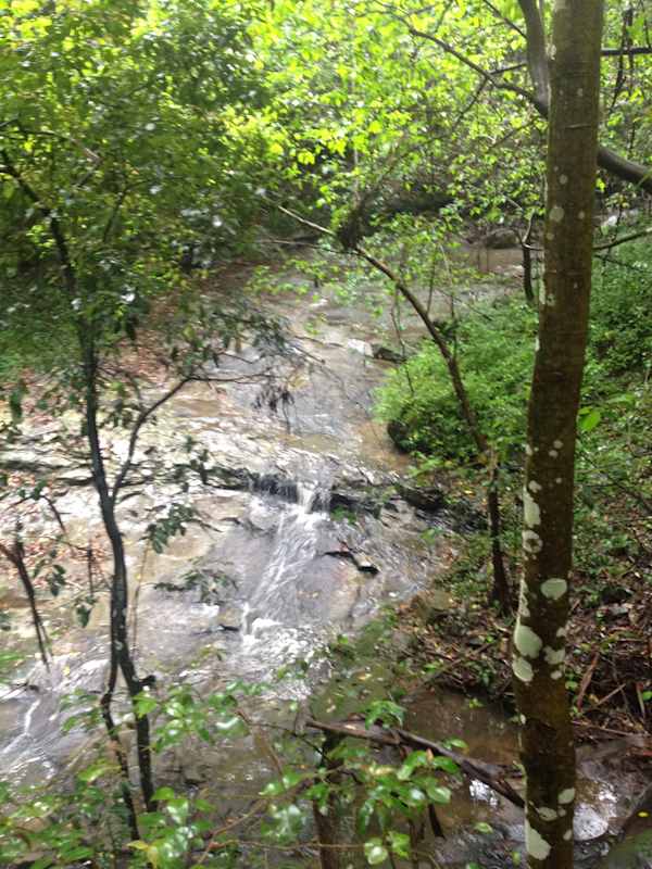
The modified watercourse below is shown after a moderate amount of rain, with water running rapidly through the channel it usually occupies; in drier conditions, the water is reduced to a smaller flow lower in the channel, while in wetter conditions the water may rise higher up the banks than shown here.
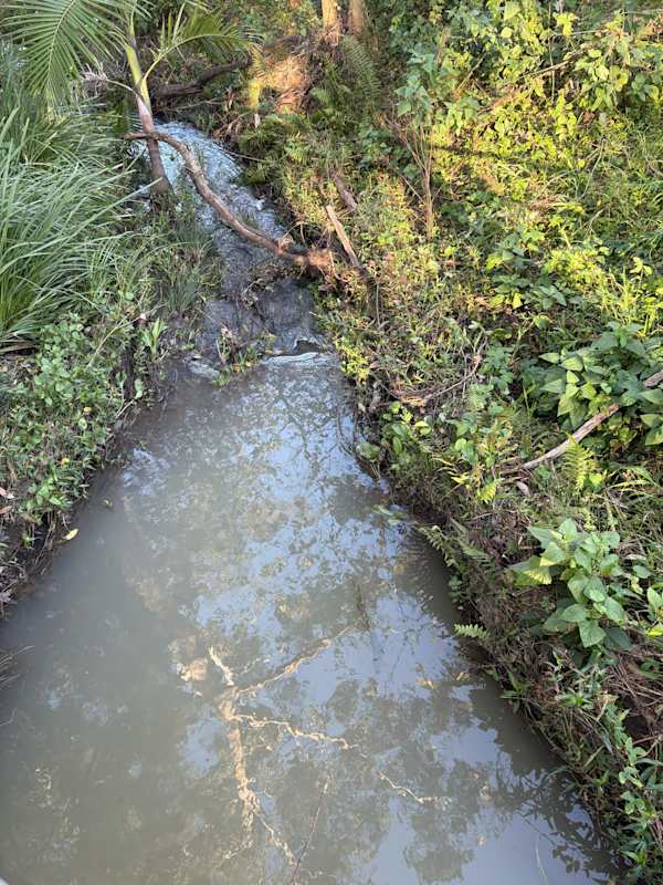
And some waterways, like the one shown below, have had rainfall diverted away from them in one way or another, to the point that they are usually dry, but may still flow very strongly under certain conditions.
Including the wider area that is sometimes but not always underwater makes sense. But how much wider to go, and how to define this?
Most technical (e.g. scientific and urban planning) definitions include all the land downslope of the top of the bank of a waterway. Beyond the top of the bank lies an area defined as floodplain, at least on flattish land. And this makes things even more complicated, because different types of waterways have different characteristics that need to be considered in defining the top of the bank!
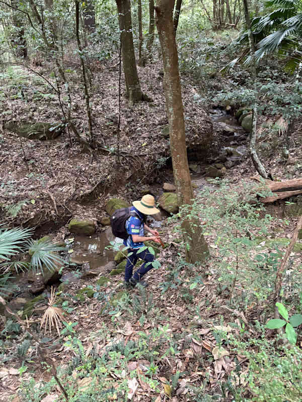
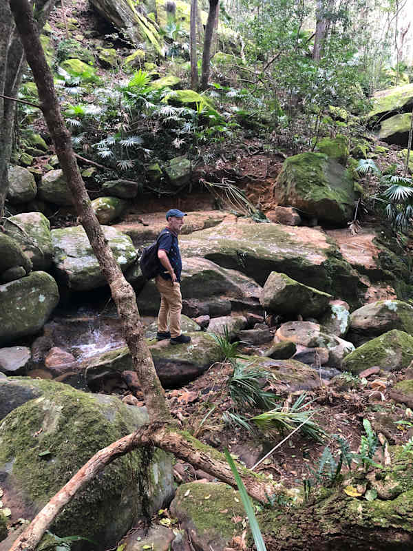
The NSW government has a special e-tool that can be used to assess a waterway and determine the top of the bank, and it certainly isn't always self-evident, particularly for headwaters and watercourses in valleys, of which we have so many in the Illawarra.
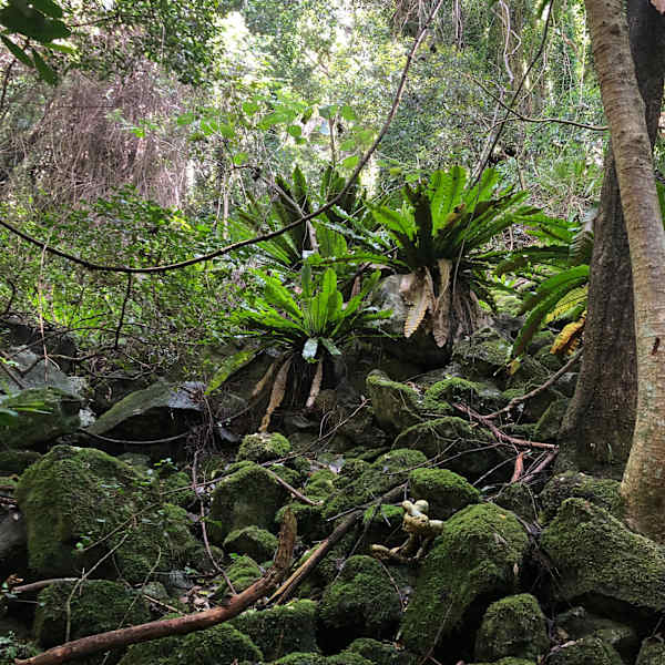
In fact, the unique topography of the Illawarra, with the steep escarpment and narrow coastal plain, results in some pretty unique waterways here. I talked with Penny Thompson, a local environmental science graduate, who explained a phenomenon known as 'compound channel morphologies.' Penny explained that these waterways have a relatively narrow inner or micro-channel maintained by smaller regular floods, and a much wider or macro-channel maintained by less common but much larger flood events, where the top of the bank may be 40m, 60m, 80m or more from the stream. Flood risk means it's really important to correctly identify the top of the bank, and it may be a long way from where the water's flowing on an 'average' day.
Administrative efforts often focus on defining an even wider area, known as 'riparian corridors' or 'riparian zones,' largely for the purposes of managing urban development.
Definitions of riparian corridors generally refer to an area beyond the top of the bank of a watercourse. Across the state, the (then) Department of Planning and Environment (DPE) defines a riparian corridor as "a transition zone between the land, also known as the terrestrial environment, and the river or watercourse (aquatic environment)".
Sometimes the land within a riparian corridor is above the top of the watercourse's bank but still on an upwards slope away from the water (often the case in valleys and gullies); in other cases the land within a riparian corridor includes an area of floodplain, flatter land that may extend for some distance (more common on the coastal plain).
The specified width of a riparian corridor may vary, depending on how the ecological significance of the watercourse in question is assessed. How the DPE and Wollongong City Council specify the requisite width of a riparian corridor for the purposes of development actually differs, adding complexity to decision-making. For example, the upper reaches of Byarong Creek would be accorded a wide protective riparian corridor by Council, but a much narrower riparian corridor under the NSW-wide rules. Thankfully, most of the area is not open to development, and the comparison is only for illustrative purposes.
References
- NSW Department of Planning and Environment (2022), Fact sheet: Controlled activities - guidelines for riparian corridors on waterfront land, viewed 20 July 2025.
- NSW Government (n.d.) Development activities on waterfront land, viewed 20 July 2025.
- Reinfelds I & Nanson G (2004), Assessment of the hydro-geomorphology of Illawarra streams: implications for the planning and design of urbanising landscapes, Wetlands Australia, January 2004, viewed 21 July 2025.
About the writer
Emma Rooksby is a local volunteer bush regenerator and environmental educator who helped establish the Growing Illawarra Natives website. She is passionate about protecting and restoring local biodiversity in the Illawarra region and collaborates with many groups and individuals who share that passion.


