New Council study confirms major flood issues for South Wollongong and a costly remedy
Share your feedback on the draft Wollongong City Floodplain Risk Management Study and Plan – it's on exhibition until Monday


A new flood study has confirmed what South Wollongong residents and businesses have been saying for years – they are at serious risk of going under and on a more regular basis.
In fact, new flood monitoring data has revealed there have been ‘significant storm events’ in the South Wollongong area on average at least once a year since 2011.
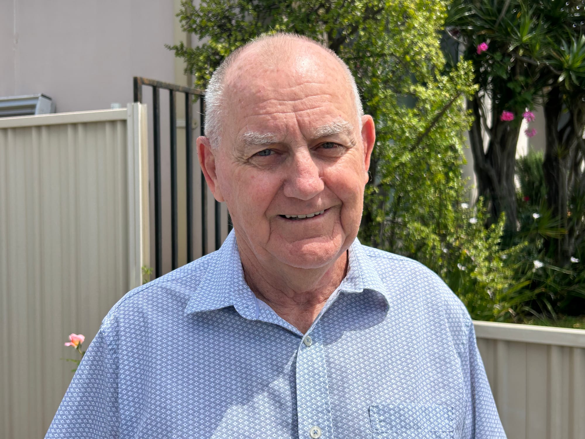
A retired engineer and South Wollongong flood activist, Ian Young has been lobbying Wollongong Council to take urgent action to prevent flooding for the past decade. The former resident has seen the problems worsen over time and wants to see solutions, but also wants answers to his question: “Why didn’t it flood in this area before 2012?”
While he blames a multitude of cumulative issues, including filling of floodways, a lack of clearing vegetation, new development and sewage overflow, Council says the big problem has been the changing climate bringing more frequent and severe storms.
In a letter to local businesses and residents, Council’s Manager of Infrastructure Strategy and Planning, Nathan McBriarty, said: “Our analysis of historical rainfall data supports your on-ground observations … the area has experienced a notable increase in storm activity since 2011, with 17 significant storm events, including four very severe events.”
Mr McBriarty said in a similar time period, between 1995 and 2010, seven “significant” storm events occurred and none were classified as “very severe”.
“This reflects a change in rainfall patterns and the severity compared to previous years.”
Council has rejected claims by locals that increased development in the area in the past 25 years has worsened the flooding problem.
“We have looked at the cumulative impacts of development since 2000 and found that new development has not been the contributing factor to flooding at this location.”
Council’s new flood study, which is now on public exhibition, also confirms the impact of sewer overflows within the South Wollongong catchment.
“Our findings indicate that during major flood events, sewer overflows contribute approximately 2% to 7% of the total flood flows,” Mr McBriarty said. “Even though it’s a minor factor, it plays a part in the overall flood impact in the area. We will continue to work with Sydney Water to understand how they are responding to the overflows within this catchment.”
Flood engineers consultant Stephen Gray, from GRC Hydro, met concerned locals at a recent drop-in session, to outline what’s in the new study and plans to alleviate those at greatest risk of flooding.
He said at least 10 properties had been identified as being at serious risk “and these properties will be prioritised for help”.
One local, who declined to be named, told the consultants of the “devastation” of having their properties inundated with flood waters every time there’s a severe storm. “People are in tears every time.”
Ward Two Cr Andrew Anthony attended the drop-in session to better understand the local concerns.
“People spoken with me about possible house buybacks and house raising as well as the need for stronger action to protect flood prone areas and improved stormwater infrastructure,” Cr Anthony said.
“I feel Council’s decisions must reflect local knowledge and the lived experiences of residents during flooding events.”
Mr Gray said the study had identified four additional properties that would be considered under the NSW Government Voluntary House Raising Scheme, bringing the total to nine, but “this help is limited by what money is available in the budget”.
The impact and data from the devastating April 2024 flood, which was close to a 'one in 100 year' flood, has been included in the new study.
L to R: Ian Young believes $10m would be the cost to fix South Wollongong flooding; a garage on Swan Street in April 2024 after floodwater receded.
Ian Young remains concerned Council isn’t investing enough in flood mitigation for homes that are uninsurable after being flooded on multiple occasions in the past five years.
“The study identified that Council is rejecting issues which have a high cost to rectify,” Ian said. He believes a “total fix” would cost in the order of $10 million.
“The houses that will need to be raised are the original homes built 80-100 years ago and includes much of Kembla Street, half way to Beach Street, some of Evans Street and in Corrimal Street.
“My assessment of the suggested solutions is that none will return the area to no flooding above floor level. In fact, some of the suggested upstream solutions will make matters worse.
“I believe it’s back to the future in reviewing each and every flood route to understand what happened to the major flood paths. Virtually all the major floodways across the whole LGA that were there in 1960 are gone, filled in, blocked off, or diverted into someone else’s property.”
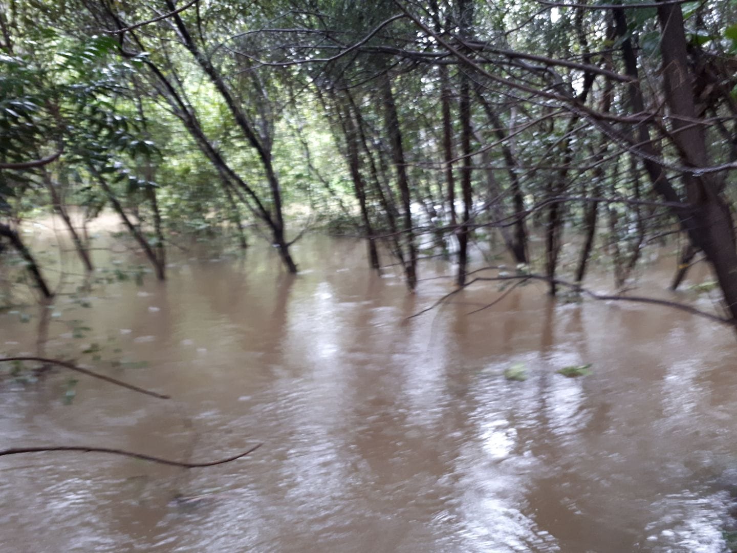
Flooding near bridge Springhill Road April 2024; the draft Wollongong City Floodplain Risk Management Study and Plan.
A Council spokesperson said community input was welcomed as part of the process to finalise the draft Wollongong City Floodplain Risk Management Study and Plan.
“We’re encouraging people from the Wollongong City catchment which includes Wollongong, Mangerton, Coniston and Mount Saint Thomas to consider the options and measures we’ve identified in this draft plan to help manage flood risk across this area, and to provide their feedback to Council.
“Some of the options listed include built structures to help control floodwater and reduce the impact on the public and private assets, and changes or additions of flood planning controls for future developments.”
Feedback should be provided to Council before community consultation wraps up on Monday, 3 November 2025 via an online feedback form at Our Wollongong or email engagement@wollongong.nsw.gov.au


