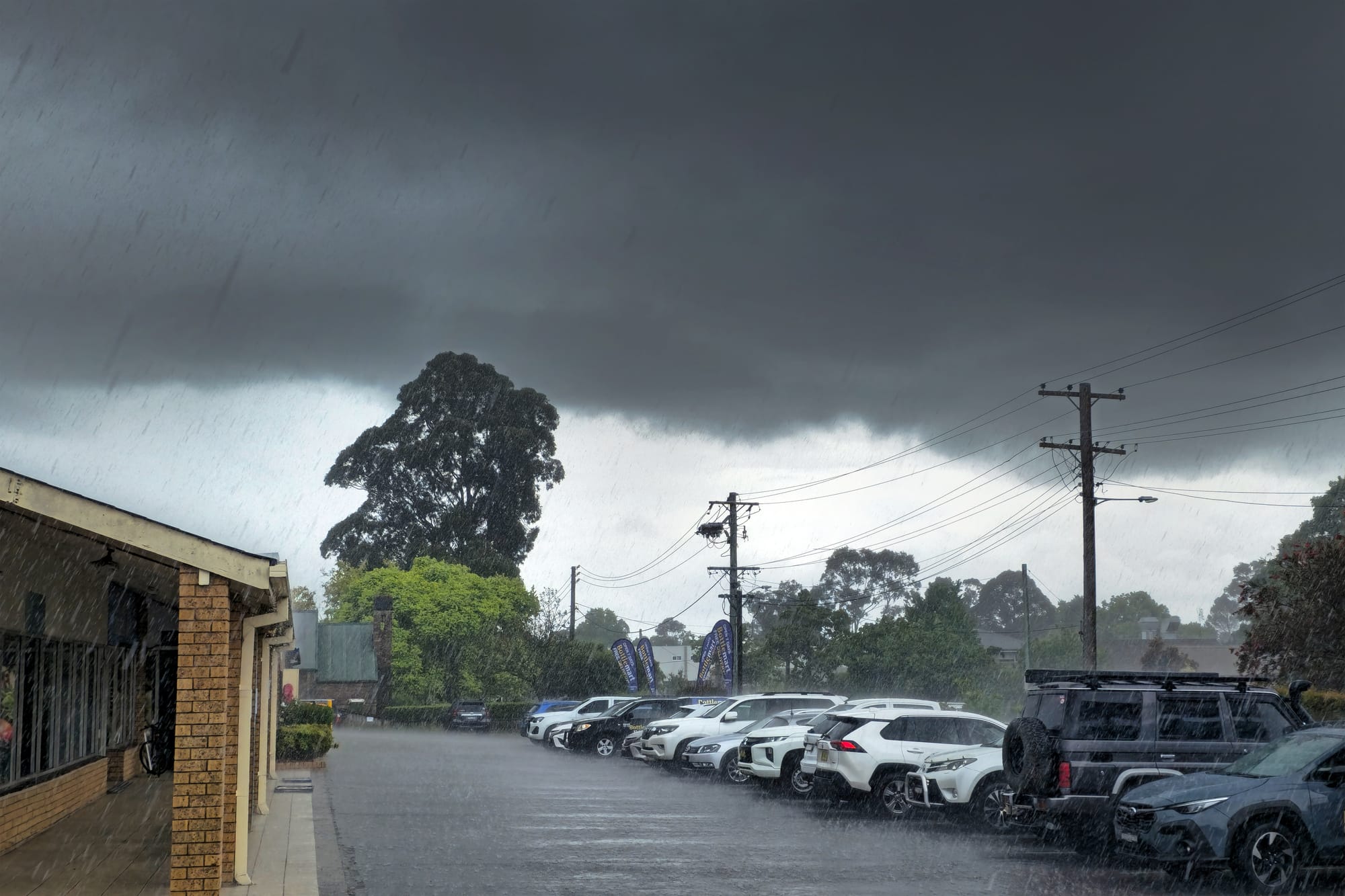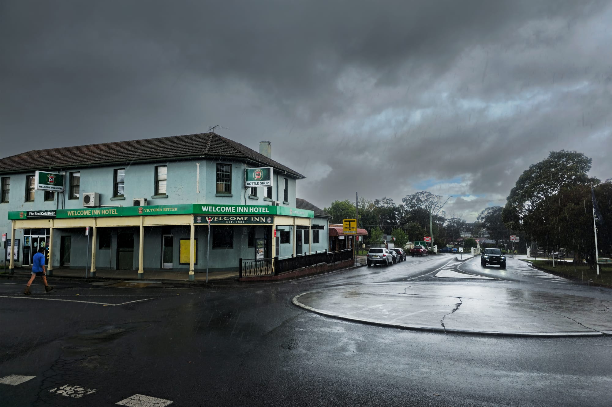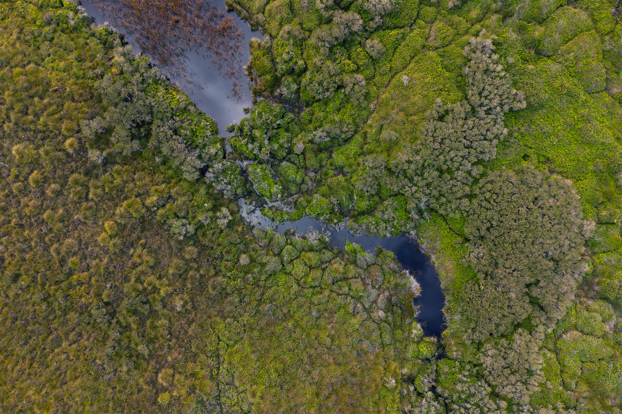

Clash of the giants! When a fogbank hits a storm front
Recent Illawarra weather featured spring storms which brought a phenonemon rarely seen or photographed

October was a month of wild weather across Wollongong, particularly with some decent, fast-moving storms rolling in. On a positive note, this weather is providing us with some much-needed rain after a dry winter.
At the time of writing this article (October 26), we had recorded 12 days of wet weather, with 124mm of rain in the gauge, which is 43mm above the long-term average. This rain has also helped to green up our bushland.
There have been many warnings about a potentially catastrophic fire season this summer, and this rain has helped reduce the immediate fire risk. However, it is no cause for complacency as hot weather in mid to late summer can quickly dry out the forest floor of the escarpment and bushland.
The wild weather has also provided me with an unusual weather event to talk about. I headed to a place I regularly visit, Maddens Plains, where I was chasing a huge orographic (upslope) fog bank racing up the escarpment and across the plains. The weather quickly changed from a relatively nice day to a dark and stormy one.
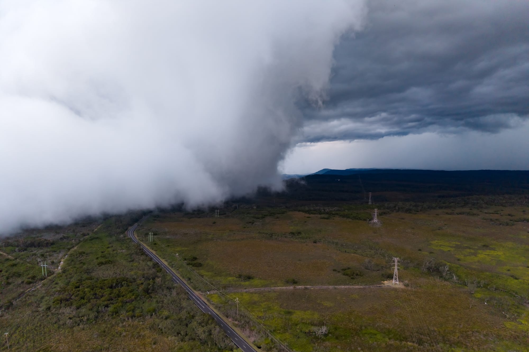
While on top of the mountain, I noticed storm clouds approaching very quickly from the south-west, which I hadn't seen in the forecast. The storm appeared low, with a shelf-like cloud developing as it approached and interacted with the orographic fog racing up and over the escarpment.
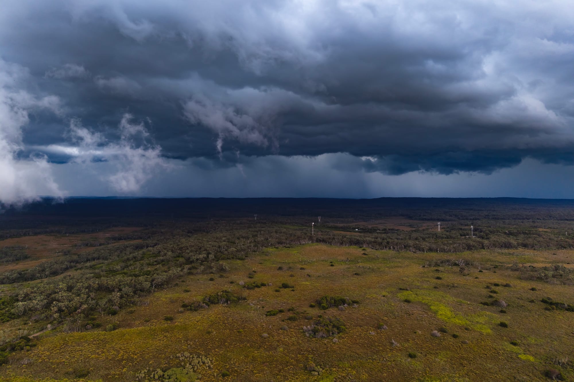
As this happened, I wondered whether a tornado could be forming, as strong, swirling winds suddenly whipped up sticks, leaves and other debris into the air for a brief period. The wind was so strong that I could barely pull the car door open. I packed up my gear and drove away from the system.
Was it a brief tornado? I'm not sure, but it certainly felt like it! A shelf cloud itself does not produce a tornado, although tornadoes can develop in association with certain thunderstorms. The storm appeared to interact with the moist air and low cloud around the escarpment, creating a spectacular and turbulent mix of cloud formations.
It is also possible that the sudden, violent winds were associated with a downburst or a brief, localised rotating vortex known as a gustnado, which can form along the leading edge of a storm's outflow. Without further evidence, though, I can't say for certain what happened that afternoon as there are a number of possibilities.
Whatever the cause, it was certainly an impressive and slightly unnerving weather event to witness and photograph. As you can see from the photographs, there were numerous interesting cloud formations as the storm approached and interacted with the rising fog.
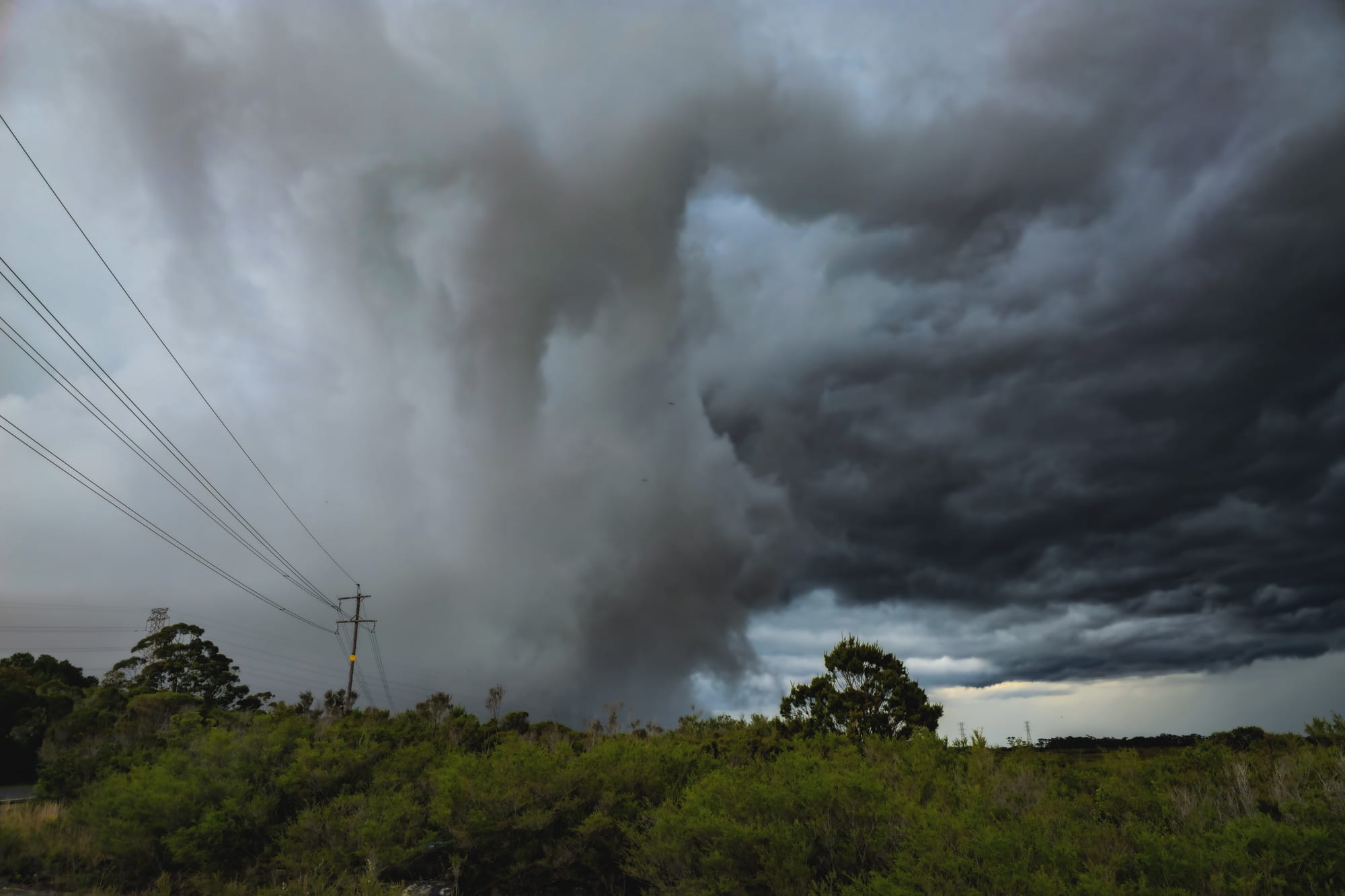
A gustnado can form when the cool, dense air from a thunderstorm's downdraft hits the ground and rushes outwards. This outflow can create strong, turbulent winds, and under the right conditions, localised rotation can develop along the gust front.
Unlike a typical tornado, a gustnado is generally shallow, short lived and not connected to the thunderstorm's rotating updraft; it forms from the ground up. These vortices can sometimes lift dust, branches and other debris into the air, which may explain some of what I witnessed at Maddens Plains. However, I cannot confirm that a gustnado occurred.
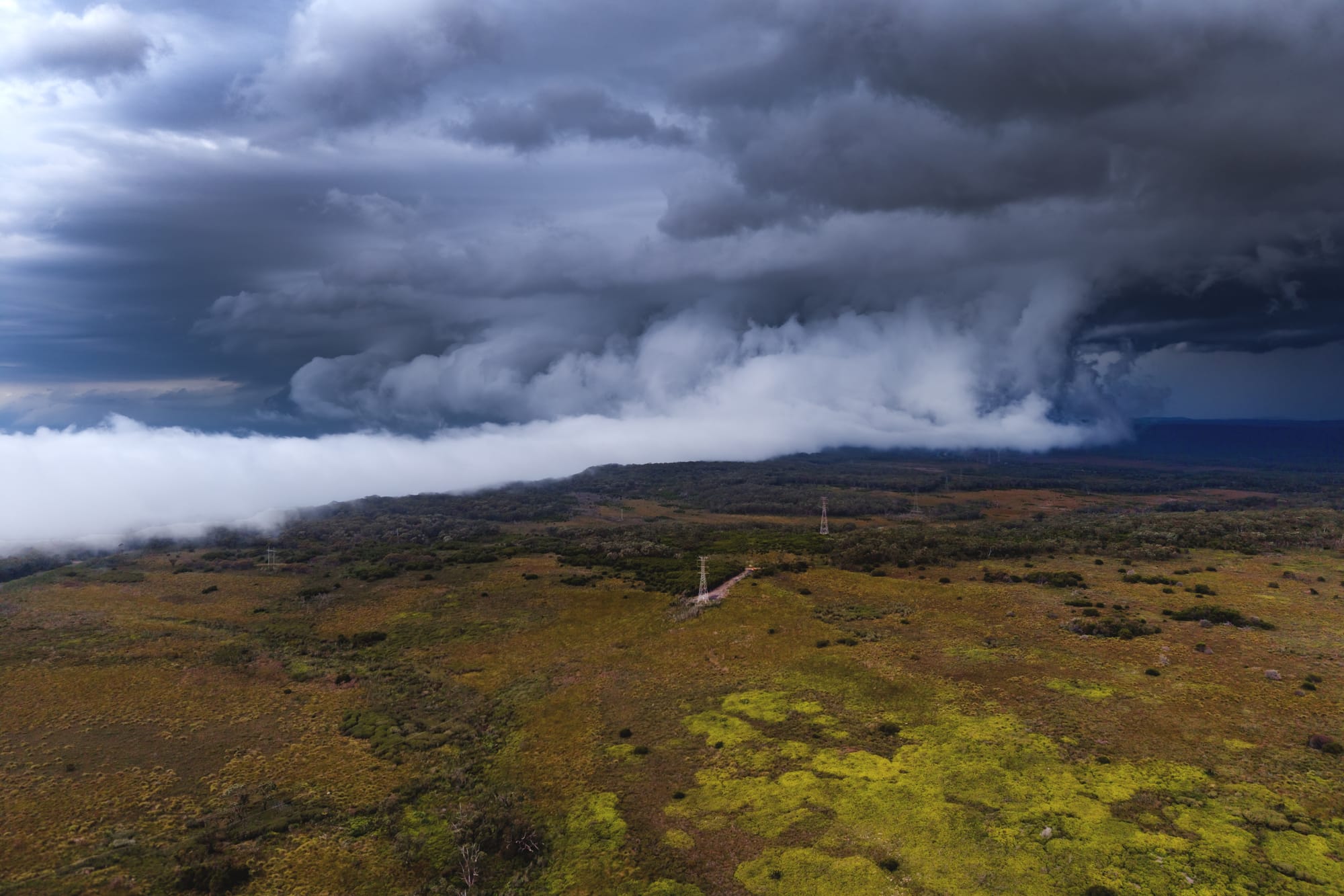
A true tornado is associated with a rotating column of air extending from a thunderstorm cloud downward. Tornadoes often develop when rotation within a storm stretches vertically reaching the ground, although the processes involved can be complex.
Giving advice on how to capture storm photographs like these is a little difficult as it often comes down to luck and being in the right place at the right time. However, you can increase your chances by keeping an eye on the weather and heading out to photograph approaching storm fronts as you never know what they might produce, including spectacular cloud formations, lightning or, on rare occasions, tornadoes or waterspouts off the coast.

It helps to know your local area and where to head when a storm approaches or fog races up the mountain. However, safety should always come first. Severe storms can produce dangerous winds, flying debris and lightning, try to photograph it from a distance and do not put yourself at risk trying to capture a photograph. It’s good to have an departure plan or shelter nearby in mind.
As for camera settings, I generally try to keep my ISO as low as possible to maintain good image quality and minimise noise. An ISO of 100 is ideal in good light, and a tripod can be useful when light levels are low or when you want to use a slower shutter speed. However, when photographing fast-moving clouds or sudden changes in the weather, you may need a faster shutter speed to capture the detail and movement.
If you don't have a tripod, which is often the case, try an ISO of around 320 as a starting point, adjusting it as needed to suit the available light and shutter speed. An aperture of f/5.6 can work well when light is limited, while f/8 is a good option in brighter conditions when you want greater depth of field and sharpness across the scene. Ultimately, the best settings will depend on light, movement of the clouds and the effect you want to achieve.